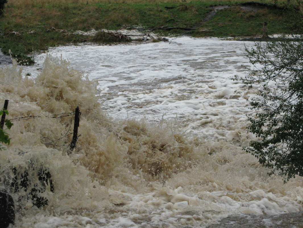
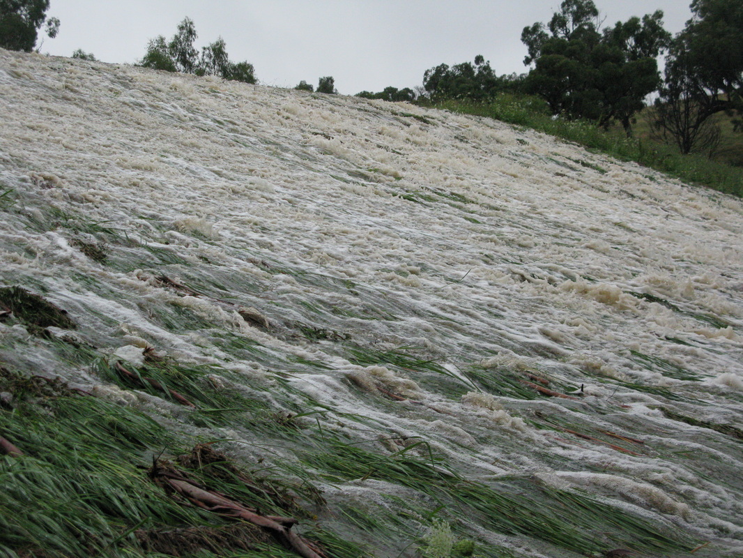
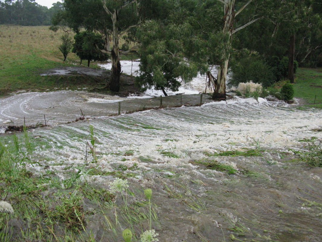
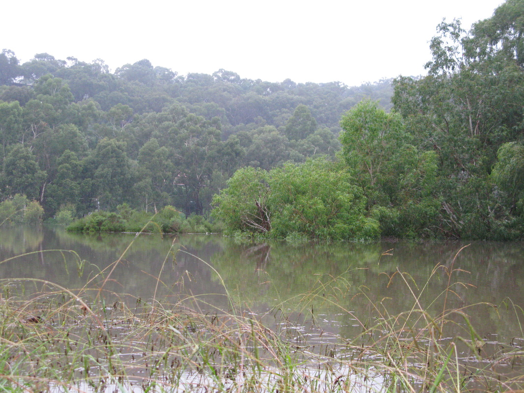
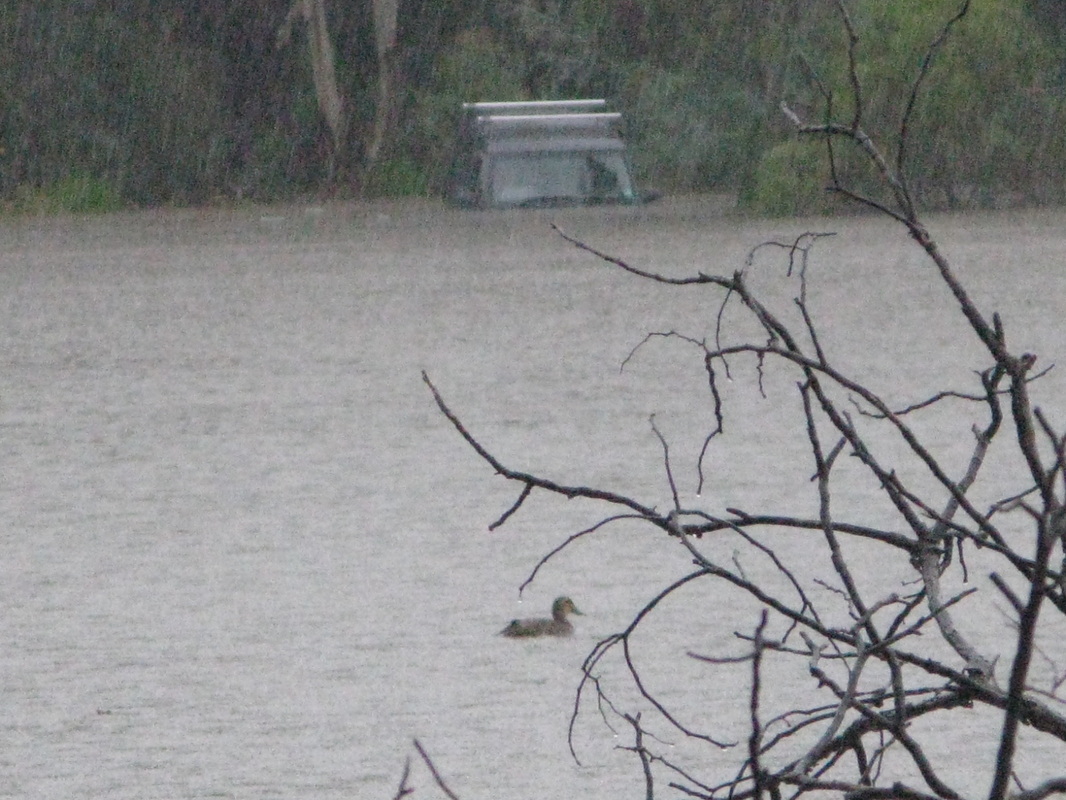
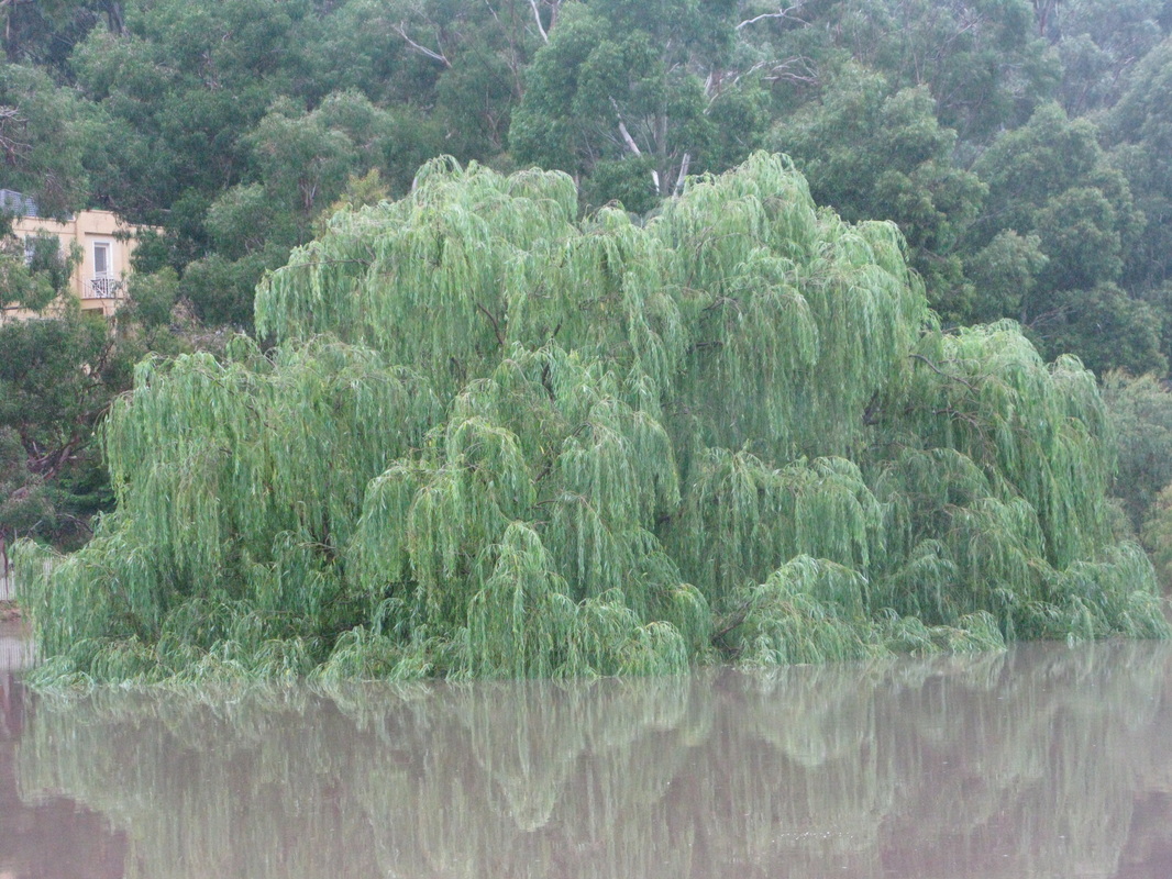
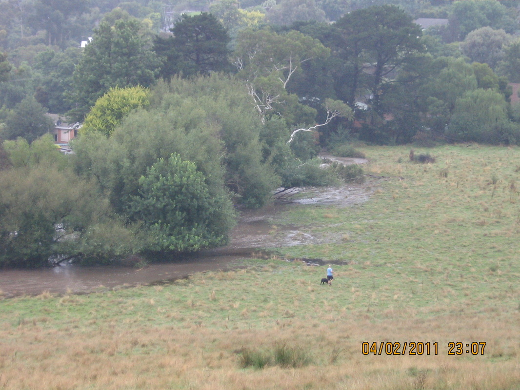
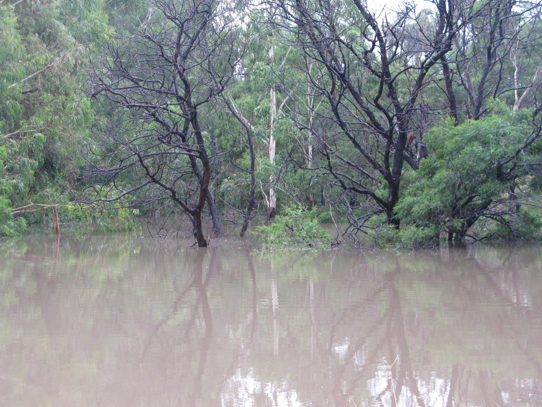
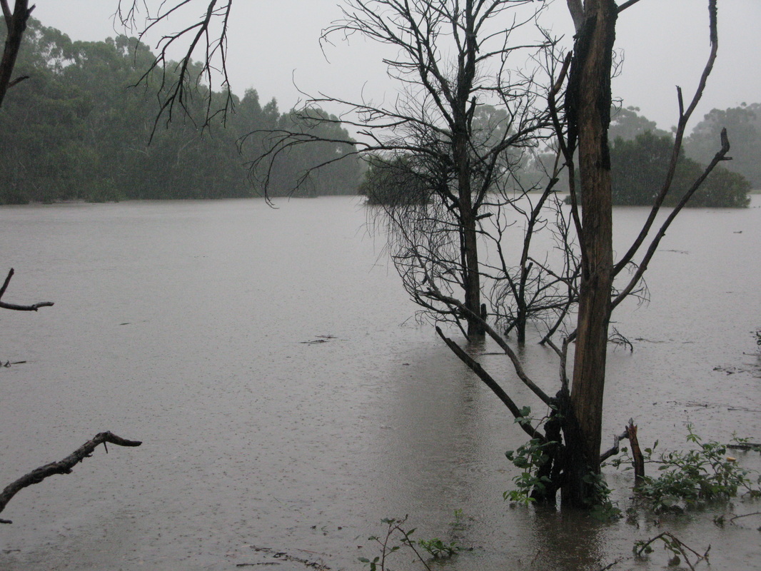
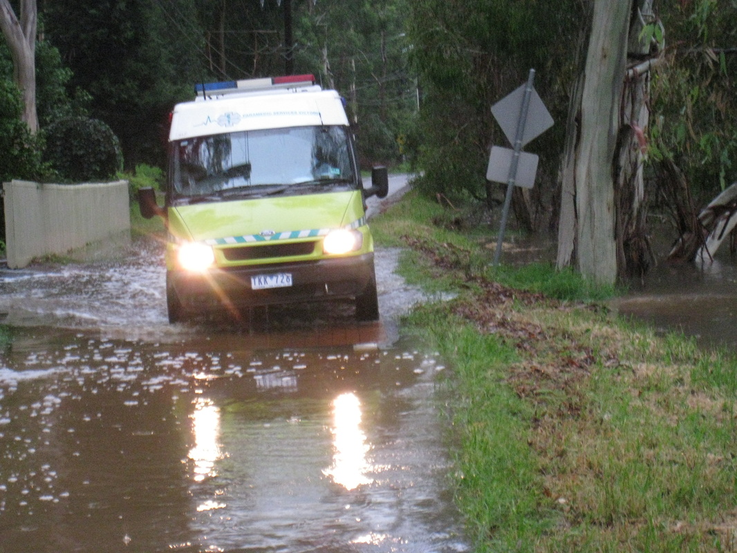
Ferny Creek in Flood
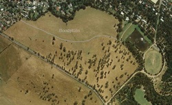
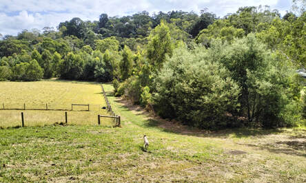
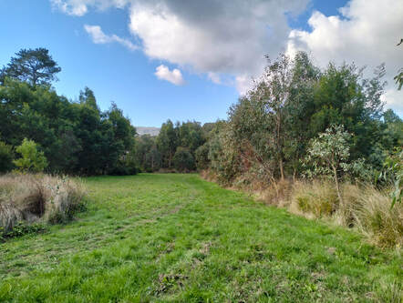
Approximately a third of the property lies on a floodplain bordered by Ferny Creek, as shown on the map of the property on the left, with the floodplain designated by the white line. There have been three major flood events in the past 10 years, resulting in the overflow of the Gilmour Park Retarding Basin and flooding of Ferny Creek and the surrounding area. The photos below, taken in February 2011, give an indication of the extent of flooding that occurs. Part of our vision for this property is that the floodplain be returned to its natural state within the bushland reserve.
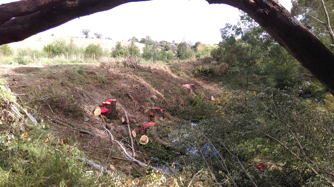
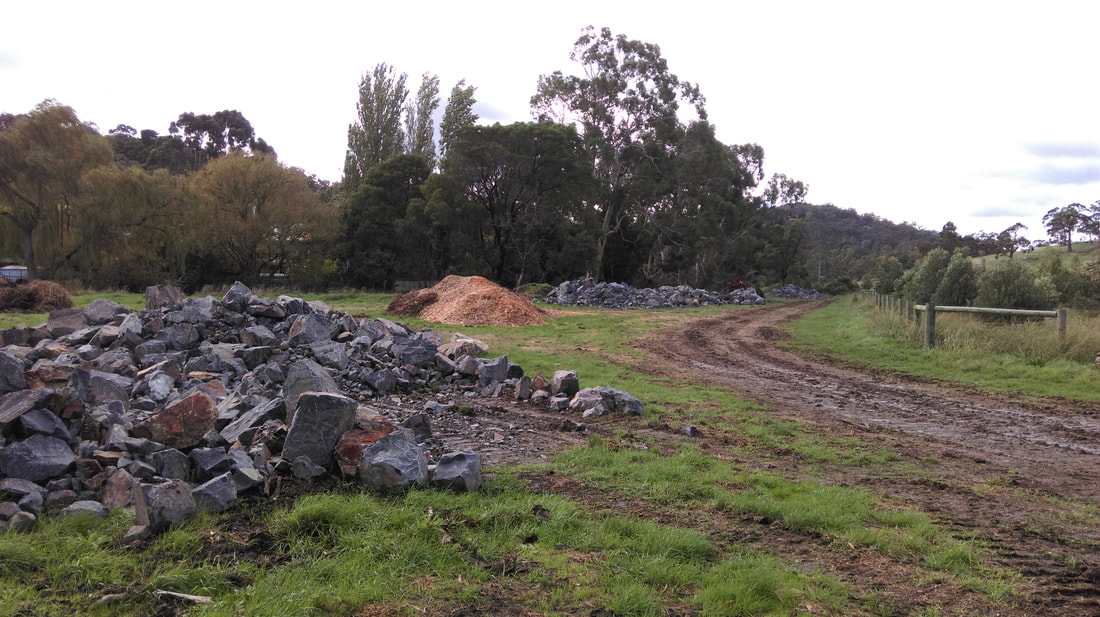
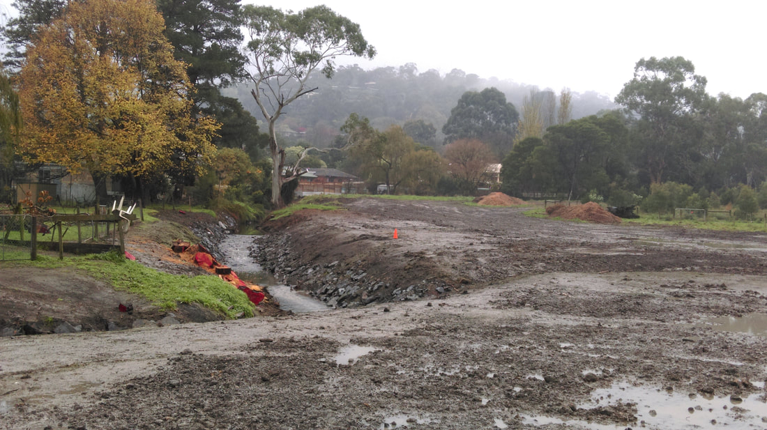
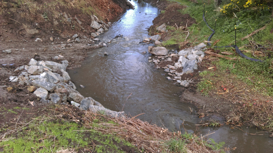
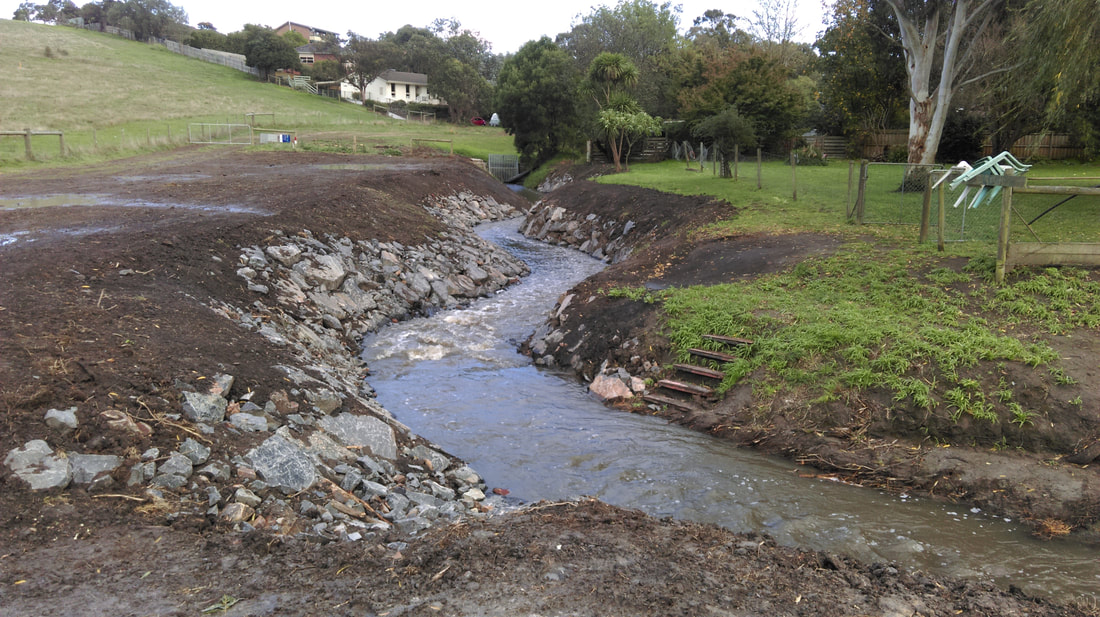
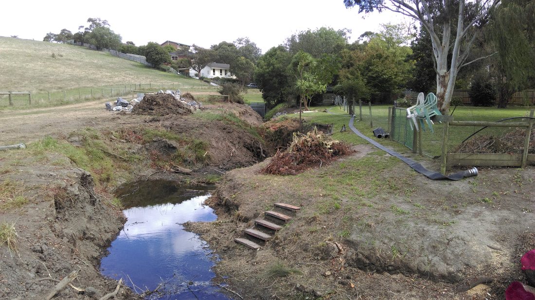
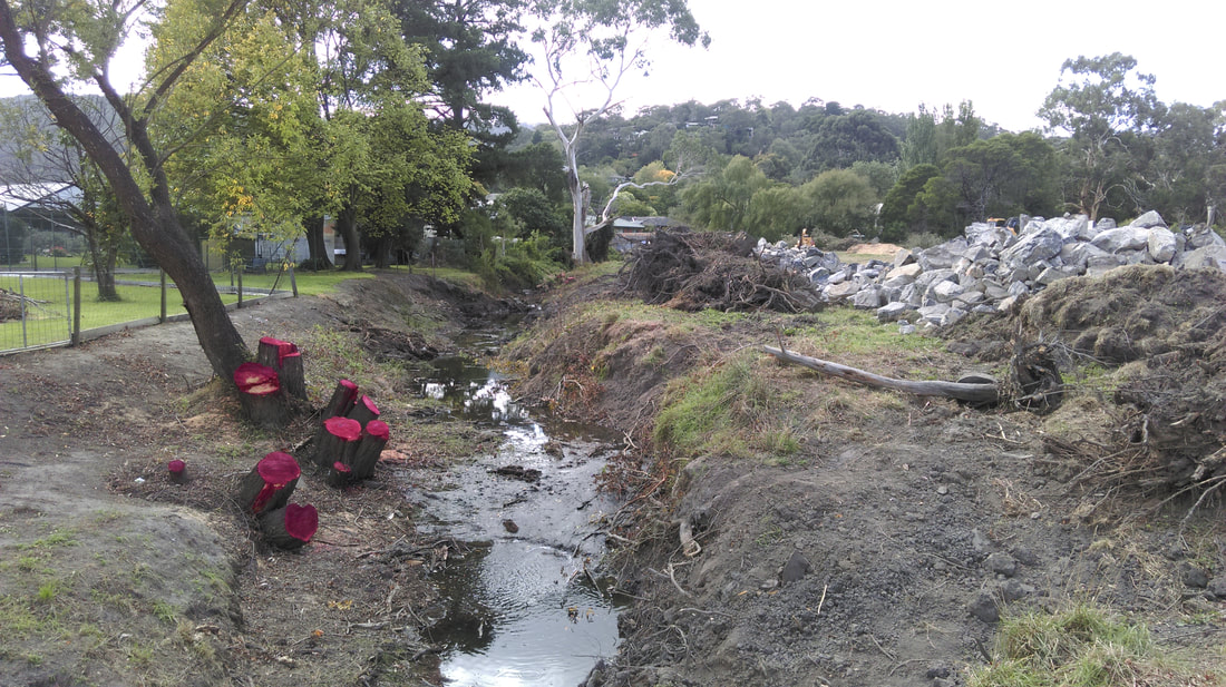
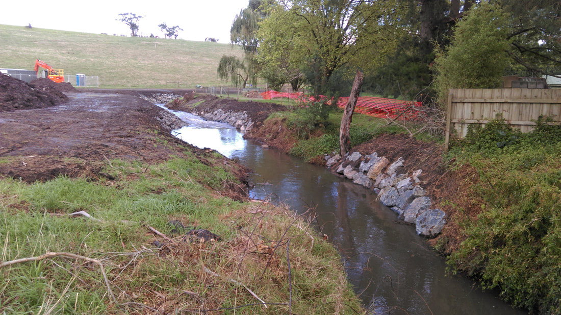
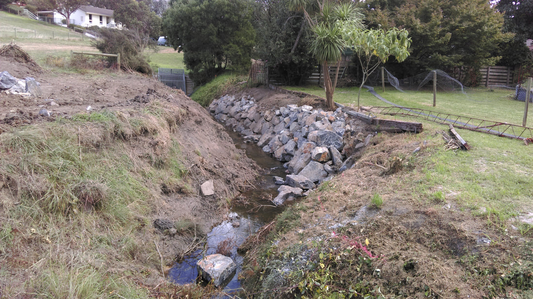
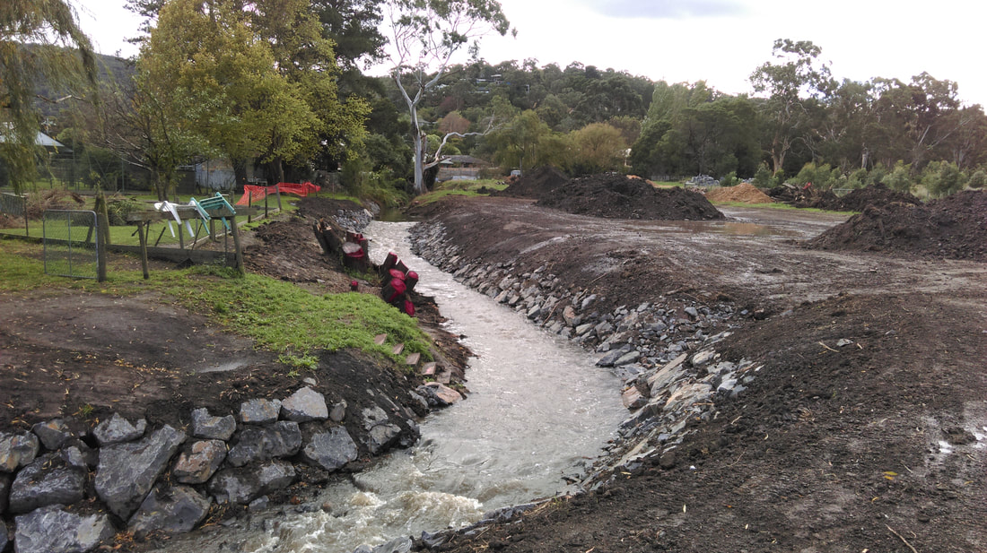
Melbourne Water Weed Removal and Engineering Works, April-June 2016
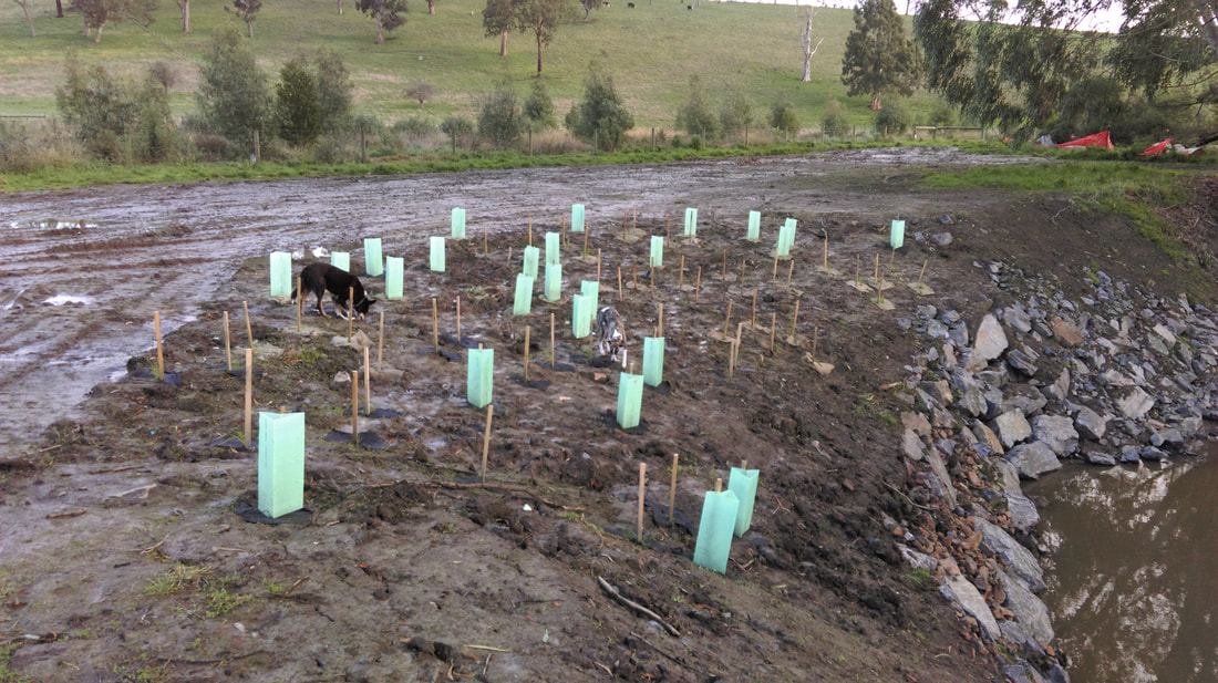
Revegetation Work
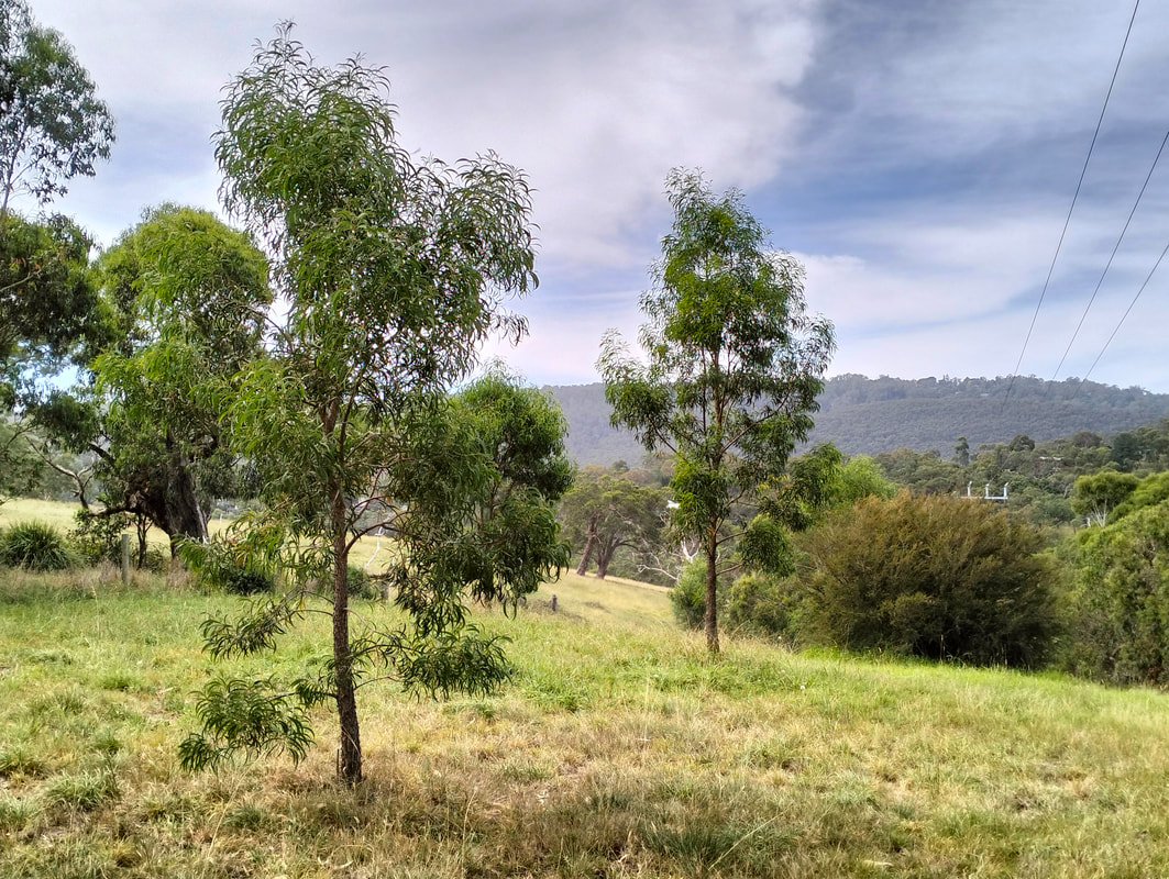
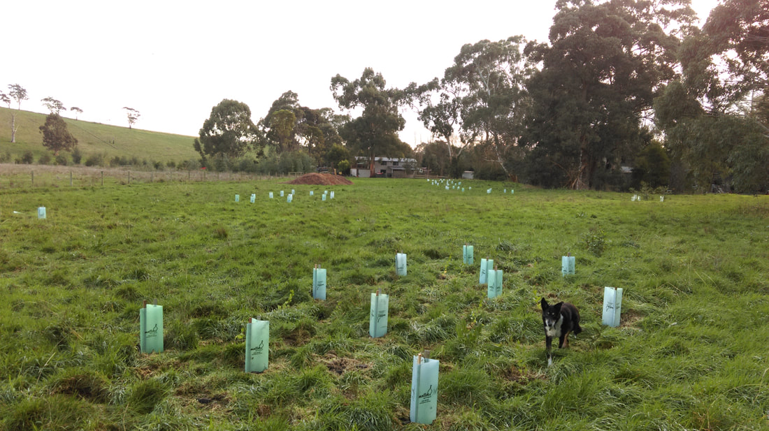
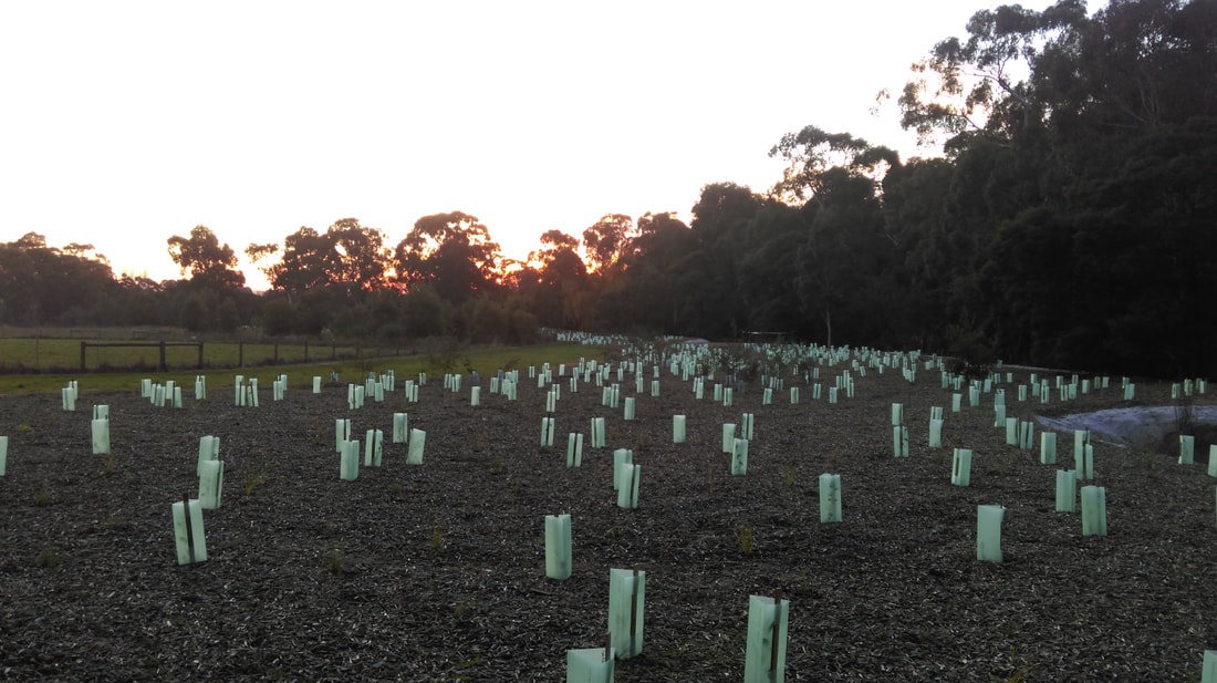
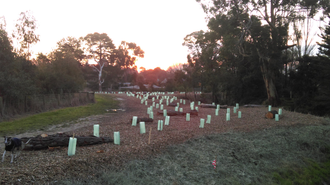
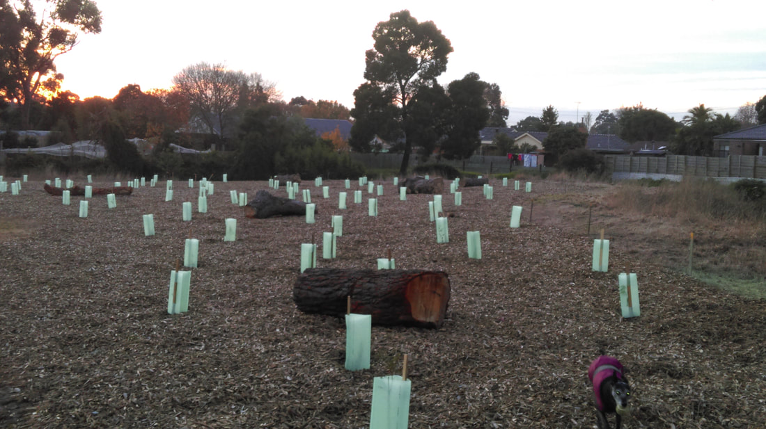
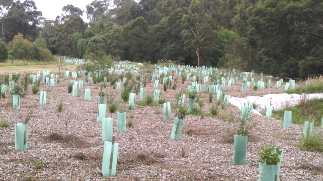
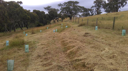
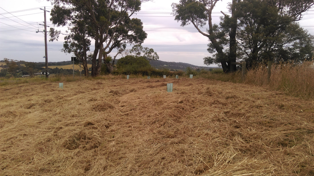
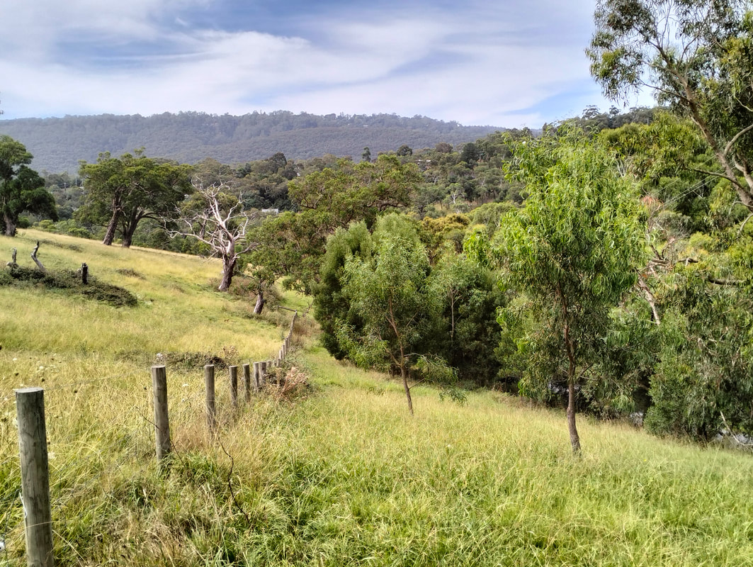
The photos displayed below were taken in June 2017 and record the first major revegetation planting by Knox Council on the Ferny Creek floodplain. |
|
|
|
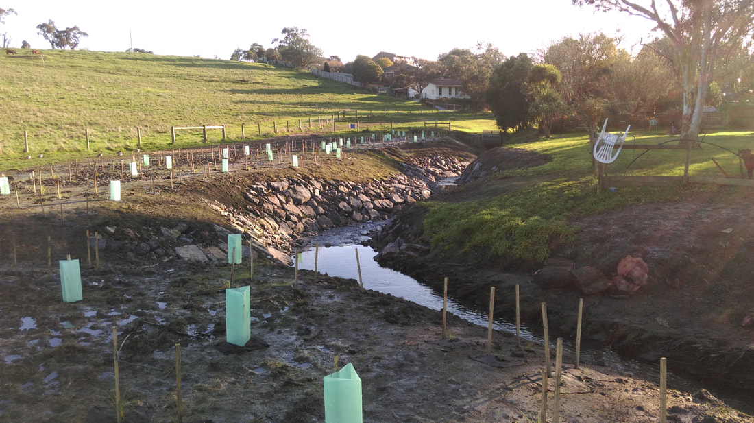
Revegetation Work
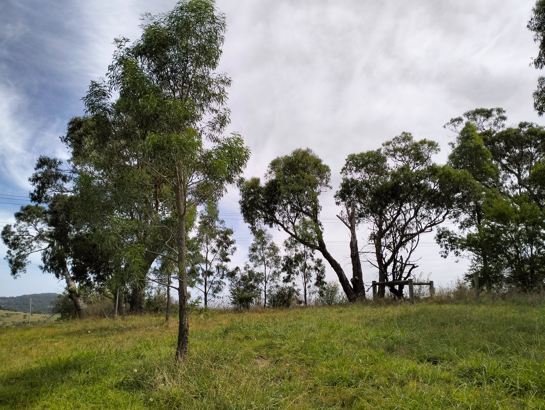
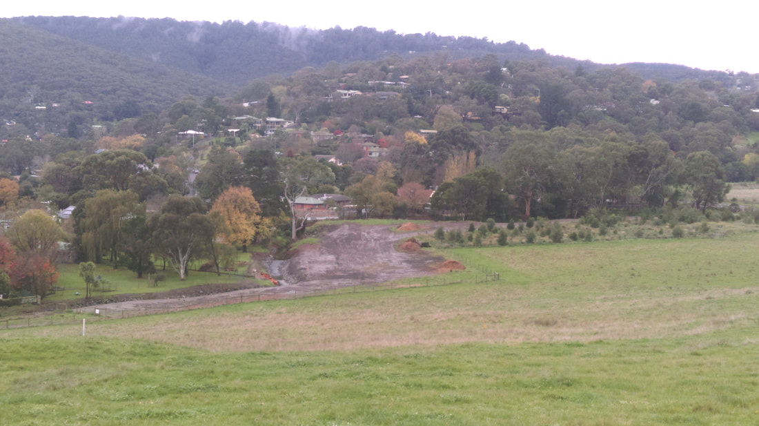
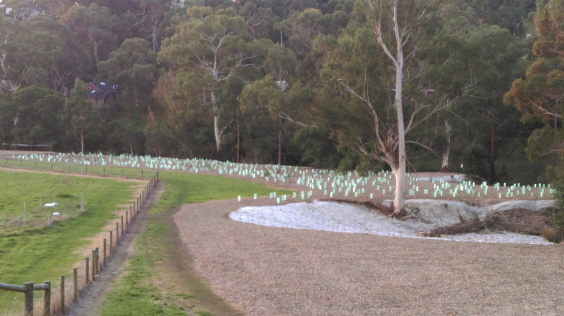
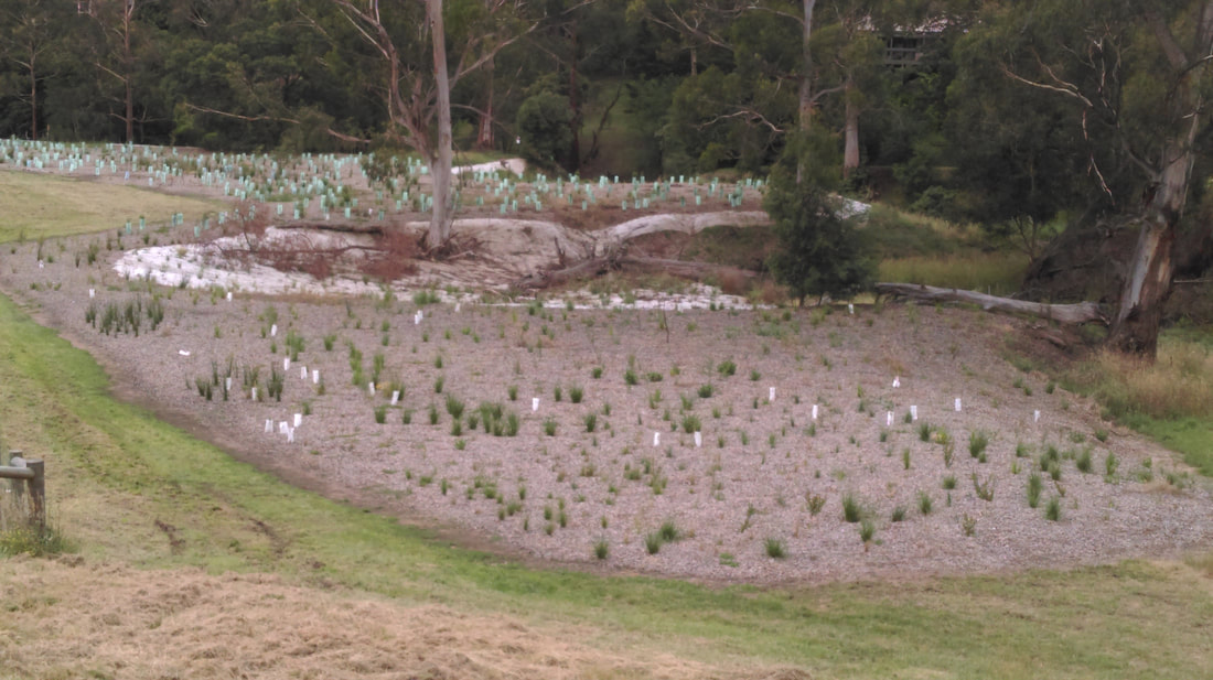
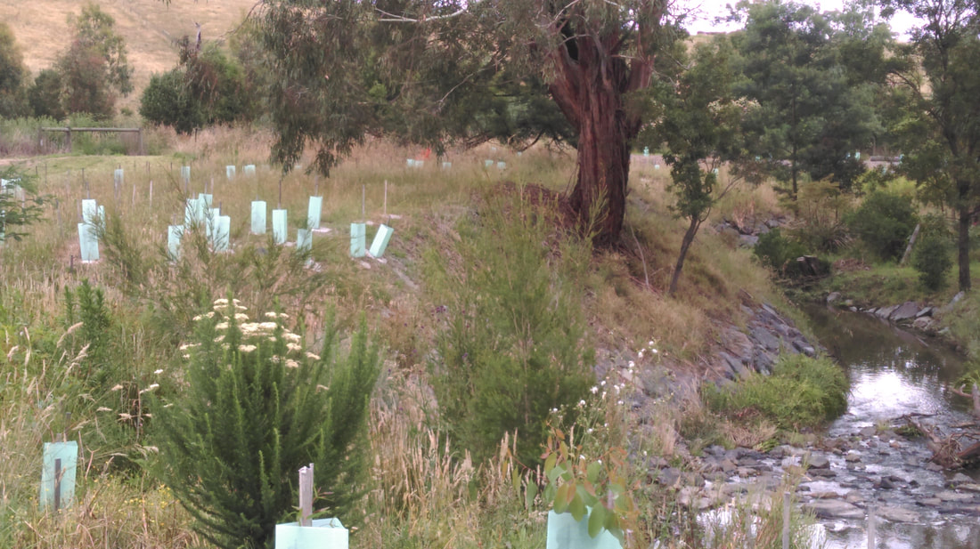
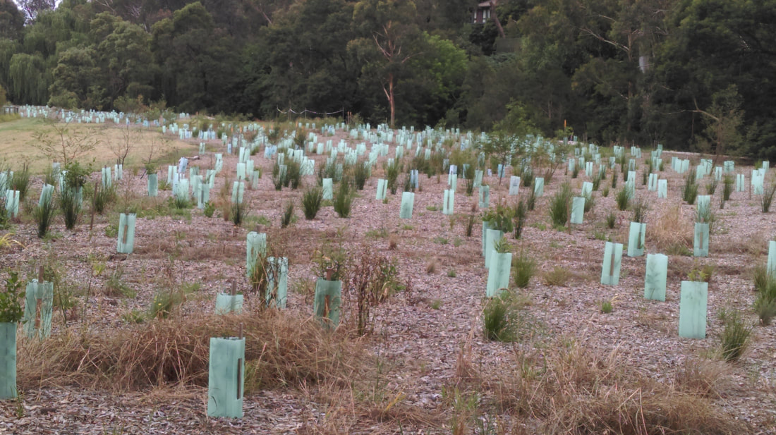
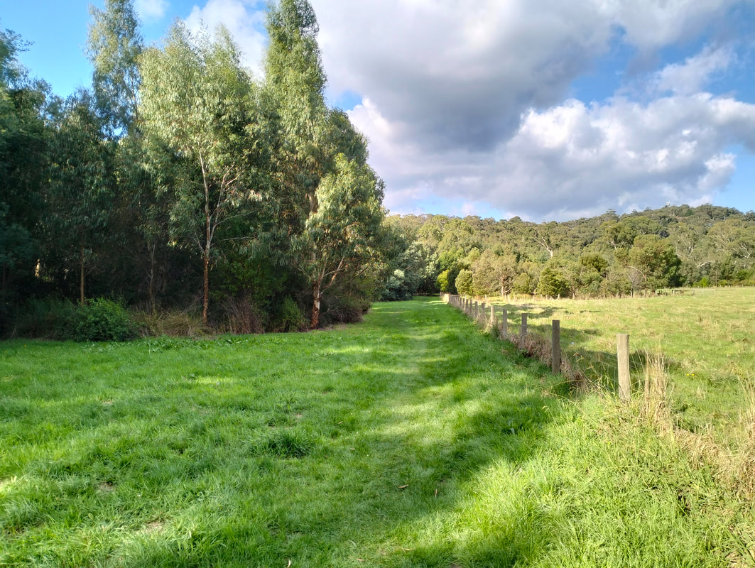
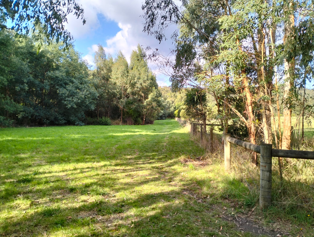
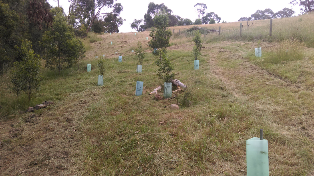
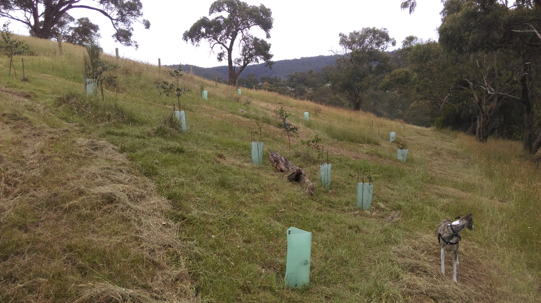
The photos displayed below, taken in December 2017, record significant establishment of revegetation plantings on the Ferny Creek floodplain.
|
|
Revegetation Work
|
|
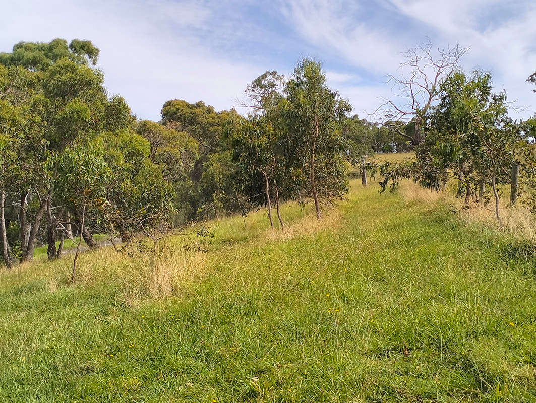
Revegetation Work on New Road
|
|